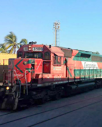
The terrestrial accessibility of the port is given by the DF-Guadalajara Nogales corridor and the federal highway Mazatlán-Matamoros, in the North-South and East-West direction, respectively. To this is added the rail access available to the port, as part of the Ferromex network.
The potential cargo markets of the port are made up of the regions and population and consumption centers that are linked to it through infrastructure and transport services; This is mainly the states of the northern corridor. The port has highways and motor transport services that link it to cities in the northern economic corridor (Sinaloa, Durango, Coahuila, Zacatecas, Chihuahua, Nuevo León and Tamaulipas). The highway system allows Mazatlan to have access to a communications network that links it with the entire country.

A. Hinterland:
The highway efficiently joins the 7 states: Sinaloa, Durango, Chihuahua, Nuevo León, Tamaulipas, Coahuila and Zacatecas, thus integrating a region with more than 20 million inhabitants. NORTH ECONOMIC BROKERThe super Mazatlán-Matamoros road:
– It will be the trigger for the development of a region that today accounts for more than 20% of the National GDP.
– It will promote the commercial integration of the north of the country with the US and Canada with the more than 50 other economies of the Pacific Rim.
– Check the importance of the port of Mazatlan as a strategic logistics node for the competitiveness of the Mexican economy in the international concert.